Search for:
Store
eBook Subscriptions
eBooks
Our Blog
Contact
About Us
Account
Search
0
Home
/
Genealogy Pointers
Genealogy Pointers
June 29, 2026
Genealogy in Reverse. Finding the Living: A Practical Guide for All Genealogists – By Cheri Hudson Passey
Read more
June 1, 2026
Censuses and Tax Lists
Read more
May 26, 2026
Early American Passenger List Books
Read more
May 18, 2026
Ultimate Guide Explains “Other Family Member” Trick for Finding Ancestors
Read more
May 18, 2026
Book Explains and Celebrates 250th Anniversary of Quest for Independence
Read more
May 12, 2026
Gold Standard for Maryland Research: Pioneers of Old Monocacy
Read more
May 11, 2026
“SCOTCH-IRISH or ULSTER SCOTS,” by David Dobson
Read more
May 11, 2026
TENS OF MILLIONS OF AMERICANS Descended from 17th-Century Colonial Governor
Read more
May 4, 2026
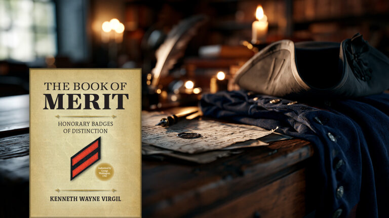
Creating ‘The Book of Merit. Honorary Badges of Distinction’, by Kenneth W. Virgil
Read more
April 20, 2026
What You Might Discover about the Nun in Your Life
Read more
March 30, 2026
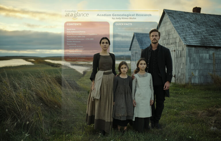
New Acadian Genealogy Guide, by Judy Nimer Muhn
Read more
March 23, 2026
Ancestoring and the Imperfections of Memory
Read more
1
2
3
…
29
→